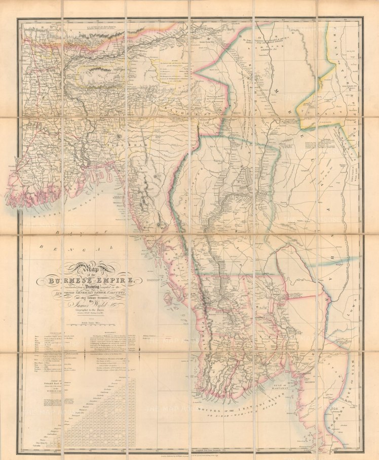
Partie Orientale De La Terre Ferme De L’Inde ModernInde Ancienne A L’Orient Du GangeMap of Burmese Empire
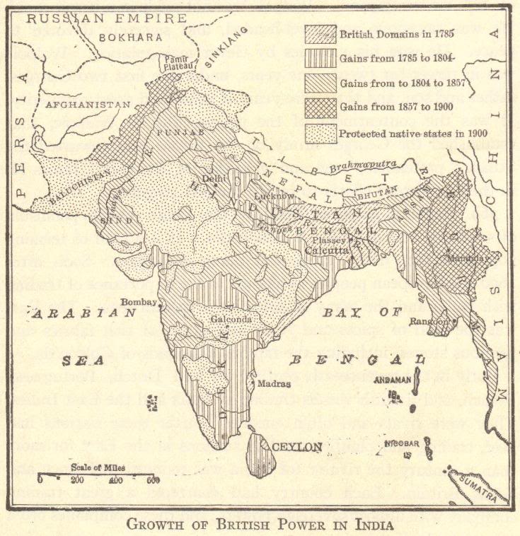
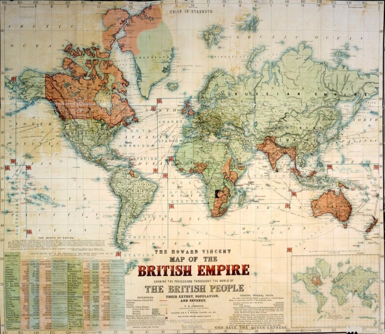
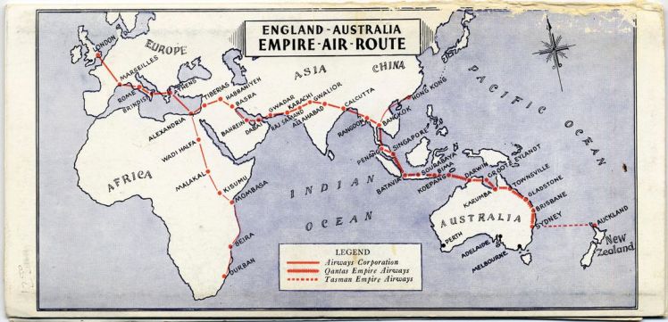
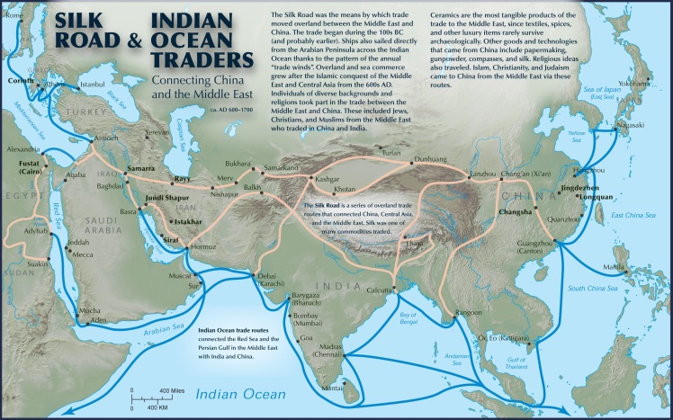
India 1909 General Map of RAILWAYSCarte De La Cote De Pegou et De celle De MartabanPolitical Provision of India Empire (Kipling’s India)Growth Of British Power In India1897.The Howard Vincent MAP OF THE BRITISH EMPIREENGLISH-AUSTRALIA – EMPIRE-AIR-ROUTETHE 1893 GENERAL POLITICAL MAP OF THE INDIAN EMPIREBURMASILK ROAD & INDIAN OCEAN TRADERS CONNECTING CHINA AND THE MIDDLE EASTJAPANESE EMPIRE 1942INDIA, BURMA AND CELONJOHNSON’S HINDOSTAN OR BRITISH INDIA


You must be logged in to post a comment.