In 1755, King Alaungpaya marched to Rangoon by the way to occupation of Thailand. In that time, population of Rangoon, just less than 10,000 with local Mon, Burmah & some foreign settlement are already there. Roman Catholic Churches, Mosques, Armenian Apostolic Churches, Buddhist Monasteries and Buddhist Pagodas could seen in the 1760 Old Rangoon map. Royal administration structures like Town Lord”s House, City Office, Custom House and Ministers Road were constructed in the city . Royal Fortress and several gates were boundary for the city Rangoon too. Connected roads to reached each town quarter with different settlements for city people like Armenian quarter, Indian Quarter, royal officers quarter and local native quarter too. There had two main roads called Ministers Road and Shwe Dagon Pagoda Road from south to north of the city. From east to west , there were Strand Road and Merchant Road as busiest road for economy of the city. By Rangoon river, international trading port opened to the world was one of the most important for the economy advantages of the royal Burma.
In the city, Chinese traders from Melaka & Penang, Armenian from Persia ,Dutch, Portugal, French,Indians as well as other europeans traders are lived there. Rangoon was liked a most busiest place of the whole royal Burma as well as one of the most important sea port for Europe and South East Asia trading zone.

Old Rangoon Map (1755)
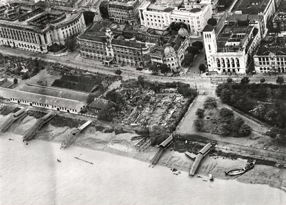
Old Rangoon (Yangon) after WWII

Old Rangoon Bird Eye View


You must be logged in to post a comment.